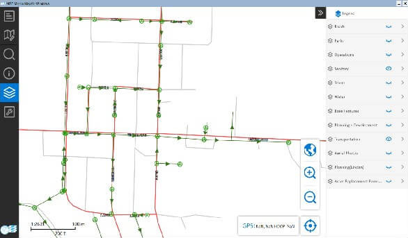

MRF Mobile is a windows application that directly connects to MRF Web. This provides a faster & smoother interface to GIS data and layers. Once the user creates their own version of the MRF Web as a Map Server with Spatial Data, all data on the Map Server can be accessed seamlessly.

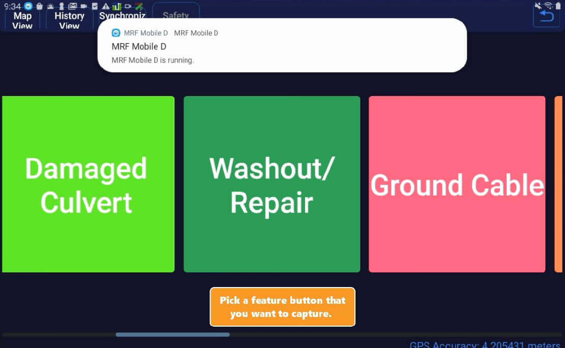
The MRF Collector App is designed to work on a cell phone or tablet and is used in vehicles such as graders and mowers. The application allows users to update issues and concerns regarding road conditions, sign conditions, obstacles and hazards. Users can also see recent activity of roads traveled on. In addition, the application will notify the operator (e.g. mower) of upcoming obstacles such as culverts or rocks. Work-Alone functionality can also be integrated.
