
No two businesses are alike, and we recognize the importance of customized solutions. Our team of GIS experts works closely with you to identify your specific challenges and develop tailored strategies that leverage geospatial technology to address your unique requirements.


Integration is at the core of our approach. We seamlessly integrate GIS into your existing systems, ensuring a smooth flow of spatial information across your organization. This unified approach enhances collaboration, eliminates silos, and provides a holistic view that empowers better decision-making at every level.
We offer comprehensive GIS consultancy services to meet your organization's specific needs. Whether you require On-Site or Off-Site expertise, our dedicated team of IT and GIS professionals is ready to provide tailored solutions to optimize your technology infrastructure and spatial data management.

Extend the reach of your general support by adding a virtual GIS team; Simplified GIS-related help and ticket assignments, fast and flexible.
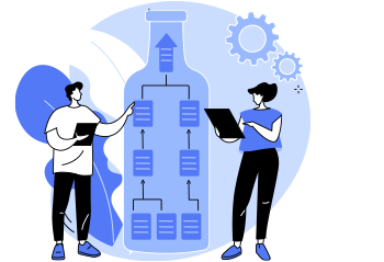
Harness the power of spatial data for effective information management. We design solutions that enable you to organize, analyze, and visualize data in a way that is meaningful and actionable.
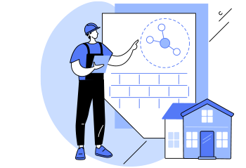

Overseeing and coordinating projects that specifically involve geographic information systems (GIS), mapping, and spatial data. Managing geospatial projects requires a unique set of skills to navigate the complexities associated with spatial data, technology integration, and often, interdisciplinary collaboration.