

Aimed to help the local governments manage and integrate information seamlessly and improve efficiency and collaboration. By leveraging the power of Geographic Information Systems (GIS), our Web Map platform as the central hub, uniting various information management systems into a single, cohesive platform.
Read More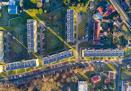

MRF Enforcement Solution were developed in partnership with Enforcement Agencies focused on increased safety and streamlined workflows. Officers can now have access to their records in both an online and offline mode when they need them most. The ecosystem was designed and developed for Enforcement Agencies to avoid the high cost of systems integration and customization. MRF's strong research and development team and its close collaboration with Enforcement Officers ensure that the MRF Enforcement Solution are efficient, easy to use, and cost-effective.
Read MoreBy leveraging accurate road network and addresses, real-time position monitoring, centralized incident reporting, and efficient staff and equipment tracking, MRF Fire Solution ensures your team is always ready, responsive, and equipped for any emergency.
Read More

Tailored for municipalities, our comprehensive Agriculture Record Keeping Solution simplifies and elevates the management of essential tasks, offering specialized applications for Weed Inspection, Pest Inspection, Mower Operations, Handheld Spray, and Spray Truck Applications.
Read MoreRedefine efficiency, security, and operational excellence. From state-of-the-art AVL (Automatic Vehicle Location) hardware to real-time monitoring capabilities on your map, our comprehensive suite of services brings a new dimension to your fleet management.
Read More
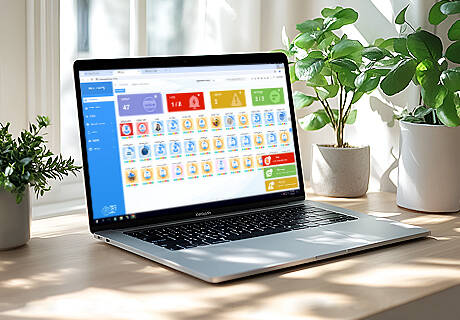
MRF's CAD (Computer-Aided Dispatch) and Safety Solution is engineered to provide unmatched safety monitoring and management tailored for lone workers and enforcement officers. With added support for third-party devices like SPOT and Garmin in-Reach Explorer+ in no-cellular areas, you're always in safe hands.
Read MoreBeyond traditional indoor mapping, our solution redefines the way you experience and navigate indoor spaces. Utilizing Bluetooth beacons and Wi-Fi access points, we offer precise indoor positioning and wayfinding capabilities for seamless navigation within buildings and complexes.
Read More

Proud to serve the largest airport in Canada. Revolutionizing Airport Management with Smart Map and Advanced Geospatial Tools.
Read MoreCrowd-sourcing mapping platform designed for communities to actively contribute to safety and incident reporting. Our platform is designed to harness the collective vigilance of the community, allowing individuals to report incidents and share safety concerns in real time. From suspicious activities to potential hazards, CrowdSecurity is the collaborative solution that fosters a safer and more connected community.
Read More

Proud to serve North America's only pipeline with access to the West Coast. Built on the robust foundation of MRF Web Map and MRF Mobile GIS, this solution is designed to cater to the unique needs of the oil and gas industry, providing support for map viewing, updating, and document retrieval. With seamless online/offline capabilities, it ensures optimal performance even in remote locations.
Read More