
Mapping, Resources and Facilities, since 1992.
We turn location into better decisions.
Almost everything organizations manage has a location—land, infrastructure, assets, vehicles, resources, and people in the field. MRF helps organizations turn that spatial context into better decisions and more efficient operations, supporting a wide range of needs across government, enforcement, public safety, utilities, aviation, environment and natural resources, engineering, and beyond.
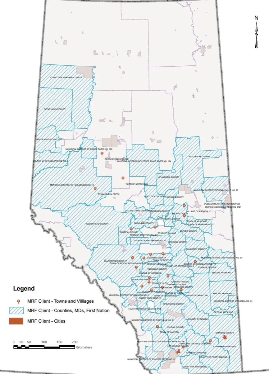
Founded in Calgary in 1992, MRF has delivered spatial solutions to customers in more than 40 countries, with clients across Canada, the United States, Europe and China. Today our platforms support municipal, enforcement, fire, safety and agricultural teams across Canada every day.
Why organizations choose MRF
- Expertise. Skilled GIS professionals with a proven record of solving complex challenges.
- Innovation. We stay ahead with the latest GIS technology, so solutions are effective today and ready for tomorrow.
- Built with our clients. Our products are co-designed with the municipalities, officers and crews who use them.
“MRF’s advanced GIS technologies offer innovative solutions to its customers at competitive costs.”
Awards and recognition

ASTech Award
Winner of the ASTech Award for Outstanding Commercial Achievement.

Tecterra Hall of Fame
Inducted into the Tecterra Hall of Fame.

TechRev Innovator
Recognized as an innovative Calgary TechRev Innovator.
Let’s work together.
Whether you’re exploring a single module or a municipality-wide platform, we’re happy to talk.